Brian Hill
FORT LEONARD WOOD, Mo. (Sept. 15, 2021) Representatives from the National Geospatial-Intelligence Agency, or NGA, research team in St. Louis, Missouri, met with U.S. Army Training and Doctrine Command Proponent Office – Geospatial, or TPO-GEO, service members and civilians here in August during Army Engineer Regimental Week to demonstrate Lidar survey data collection capabilities.
Lidar — short for light detection and ranging — is a laser-based technology that can be used to create high-resolution, or survey grade, 3-D maps via terrestrial, airborne and mobile data collection means.
The Army is considering augmenting its mapping technology with Lidar, and a “proof of concept” demonstration, which took place Aug. 23 at Range 24, offered Army Geospatial officials a chance to see it in action, according to 1st Lt. John Fangmeyer, a Geospatial Development Officer from the TPO-GEO office here.
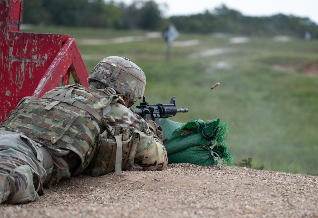
Fangmeyer said Range 24 was selected because it has infrastructure — buildings and machine gun emplacements — as well as open areas with differences in elevation.
“This allows for a diverse environment to be surveyed that will provide a good test for the capabilities of Lidar and the collection platform,” he said.
Richard Manning, a Geospatial Analyst with TPO-GEO, said Lidar equals “a tremendous amount of time saved” in the collection process.
“In the case of complex structures, what would take a week in the past (with traditional surveying methods) can take minutes with Lidar,” he said.
In addition to faster collections of data, Lidar technology can provide a safer collection method that wouldn’t require Soldiers to place themselves in harm’s way.
Chief Warrant Officer 3 Richard Allen, a Construction Engineer Technician training developer at the U.S. Army Engineer School, was on hand for the collection and said Lidar could be a major benefit.
“We do surveying for the Army, so anything that can speed up that process, especially on the battlefield — taking Soldiers off the battlefield — while giving us the same accuracy that we would get with our current instruments is a win,” he said.
Once the data is collected, it has to be processed, and Chief Warrant Officer 4 Matt Goble, an NGA course manager — along with four Army Geospatial Engineer Soldiers and a Geospatial Engineer Technician — were there to analyze the data and “turn it into products useful to the Army.”
The final product creation and analysis determined the accuracy of the collected data to be well-within the accuracy standards in comparison to conventional surveying methods currently used, Fangmeyer said, but the collection could be done in a fraction of the time with less people.
“Using conventional methods, the same survey was estimated to have taken approximately two weeks using four personnel,” he said. “This is a big step up.”


-30-
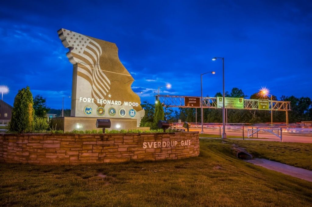
About Fort Leonard Wood
Fort Leonard Wood is a thriving and prosperous installation that has evolved from a small basic training post 80 years ago to a premier Army Center of Excellence that trains more than 80,000 military and civilians each year.
Fort Leonard Wood is home to the U.S Army Maneuver Support Center of Excellence and three U.S. Army schools: the U.S. Army Engineer School; U.S. Army Chemical, Biological, Radiological and Nuclear School; and the U.S. Army Military Police School. In addition to training engineer, CBRN and military police specialties for the Army, Fort Leonard Wood also provides gender-integrated in-processing and Basic Combat Training for new Soldiers.
Fort Leonard Wood also hosts and trains with the largest Marine Corps Detachment and Air Force Squadron on any Army installation as well as a large Navy construction detachment.
More information about Fort Leonard Wood is at: https://home.army.mil/wood/index.php/about/mission
